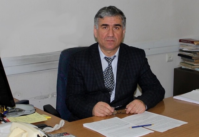
Gurgen Yeghiazaryan
Doctor of Sciences, Professor
Acting Chair
Contacts
- 74 Teryan Str., 0009, Yerevan, RA
ANAU, II building, room #319, 321, 320/A - (+37412) 56 38 50, int. 2-76
- [email protected]
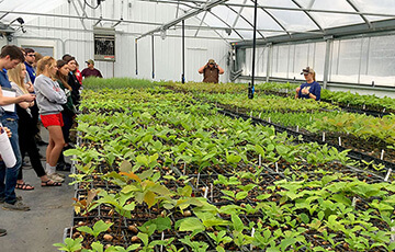
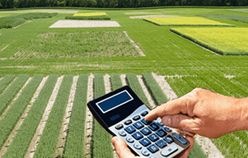
The chair of land management and cadasters was established in 1997. The first head of the chair was R. Zaqoyan, who headed the chair in 1997-1999. In 1999-2003 G. Yeghyazaryan was the head. And P. Efendyan headed the chair in 2003-2018. Scientific researches of the chair are on land constructing and design, effective utilization of agricultural lands, cadasters, and developing modern methods of evaluation of lands. 30 methodological instructions, 2 textbooks, and 3 academic manuals are developed and published.
Alumni of the chair work in the different fields of land management and cadastre.
The chair collaborates with real estate cadastre committee of the Republic of Armenia, “HoghShinMonitoring”, “Center of Geodesy and Cartography”, “Information Center” SNCOs and etc.
Chair Staff
- Paruyr Efendyan- Doctor of sciences, Professor
- Gurgen Yeghiazaryan – Doctor of sciences, Professor
- Manuk Vardanyan – Candidate of sciences, Docent
- Edik Muradyan – Candidate of sciences, Docent
- Khachatur Ghazeyan – Candidate of sciences, Docent
- Mkrtich Mkrtchyan – Candidate of sciences, Lecturer
- Stanislav Safaryan – Candidate of sciences, Lecturer
- Harutyun Daveyan – Candidate of sciences, Assistant
- Ruzanna Martirosyan – Candidate of sciences, Assistant
- Gevorg Manukyan – Candidate of sciences, Assistant
- Ani Sargsyan – Assistant
- Nane Khudaverdyan – Assistant
- Valeri Patvakanyan – Assistant
- Movses Movsisyan – Assistant
- Monika Gevorgyan – Assistant
- Marine Gharibyan – Assistant
- Ruzanna Simonyan – Specialist
- Avetiq Aleqsanyan – Specialist
- Sona Avagyan – Specialist
Subjects
Land design and construction
Cadastres and land monitoring
Organization and technology of land management work and land cadastre
Real estate cadastres
Land resource utilization
Geographic Informative System
Geodetic works in construction
Mapping
Photogrometrics