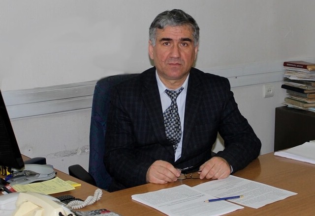
Gurgen Yeghiazaryan
Doctor of Agricultural Science, Professor
Chair
Contacts
- 74 Teryan Str., 0009, Yerevan, RA
ANAU, II building, room #215, 215/Ա, 319, 321, 320/Ա - (+374 12) 52-07-10, (+37412) 56 38 50, int. 2-91, 2-49, 2-76
- [email protected]
- [email protected]
According to the resolution taken by the Rector of ANAU on December 5 in 2022, the chair of Water and Land Resources Management is created in the result of unification of the Chair of Water Resources Management and the Chair of Land Construction and Land Cadastre. It will be managed by Gurgen Yeghiazaryan, Professor and Doctor of Sciences, as an Acting Chair.
The Chair of Water and Land Resources Management prepares highly qualified specialists for solving practical and scientific problems in the field of water and land resources management for irrigation, reservoir construction, water supply, melioration system design, construction, operation, land construction and land construction design, as well as for the efficient use of agricultural land, land registration, measurement, enlargement and unification, development of new methods for cadastral assessment.
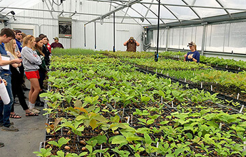
The chair has highly qualified specialists with rich scientific and production experience, who effectively combine the theoretical trainings with the hands-on and laboratory trainings and open classes, internships and work semesters in production of hydraulics, hydrotechnical structures, water supply and pumping stations, amelioration laboratories, also in GIS and RS educational cabinets, water and land resources management research technology center, adjacent operating to the chair.
Supervising trainings for all the students and special trainings and discussions for employees of the University are often organized by the best production specialists, in order to strengthen the connection between production and education, as well as to identify existing problems and improve the quality of education. The lecturers of the chair regularly undergo trainings in various international programs at foreign universities, apply the acquired experience in education and research work.
The organizing work of the educational process combined with the introduction of digital technologies is especially important, within the framework of which 6 lecturers were trained with Arc GIS, RS, AgisoftMetaship programs. The resulting skills are particularly applied to deliver the subjects of the curriculum for the Masters and Undergraduate programs in the new formed Chair of Land and Water Resources Engineering in an up-to-date format.
The involvement of students in research works is an innovation: for this purpose, the Technological Research Center of Water and Land Resources Management, adjacent operating to the chair, carries out comprehensive research works with the funding of the University. The university’s unmanned aerial vehicle laboratory gives a wide opportunity to carry out research and development projects in the field of digital and precision agriculture.
Scientific research works are carried out by the chair in the field of water and land resources management. As a result, 17 lecturers and assistants received the scientific degrees. The professional educational qualities of the teaching staff allow to conduct advanced professional lectures at foreign universities, for which the chair has submitted a proposal for participation to the International Relations Department of the University.
The chair’s employees participate in long-term international programs, in the implementation of which students, masters and postgraduates are also involved. It is expected that the agro-engineering abilities and skills of the future specialists in the field of water and land resources management will allow to come up with creative technological solutions in the direction of increasing the efficiency of the water and land resources of the republic.
53 methodological instructions, 5 textbooks, 4 training manuals were compiled and published as a result of the educational and methodological works performed by the teaching staff of the chair, and as a result of scientific research works, more than 450 scientific articles, 3 monographs, 10 inventions’ copyright certificates were obtained.
Teaching Staff
- Paruyr Efendyan – Doctor of sciences, Professor
- Edik Muradyan – Candidate of Sciences, Docent
- Naira Aloyan – Candidate of Sciences, Docent
- Artak Zakaryan – Candidate of Sciences, Docent
- Margarit Harutyunyan – Candidate of sciences, Lecturer
- Gegham Navoyan – Lecturer
- Ruzanna Martirosyan – Candidate of sciences, Assistant
- Movses Movsisyan – Assistant
- Marine Gharibyan – Assistant
- Spartak Maytesyan – Specialist
- Naira Barseghyan – Specialist-Assistant
- Armine Hambardzumyan – Specialist
- Ghevond Hovhannisyan – Specialist
Subject
Application of geographic informative system in Land and Water resources engineering
Management of water resources
Engineering geology
Basics of agrarian engineering
Water supply and absorption of rural communities
Engineering hydrology and climatology
Precision agriculture
Pumps and pumping stations
Hydraulic structures
Hydrology, flow regulation
Melioration and land restoration
Organization and technology of hydromeliorative works
Exploitation of hydromeliorative systems
Design of soil construction /optional/
Soil cadastre and monitoring /optional/
Geodesy
Remote sensing and photogrammetry /optional/
Engineering geodesy
Real estate cadastre
Real estate management (measurement, accounting, registration) /optional/
Geoinformation and land information systems /optional/
General geology
Land improvement and land reclamation
Irrigation technologies and systems in the greenhouse economy
Registration of information on automatic measuring devices
Designing rural settlements
Geology, soil mapping
Mapping
Design of local roads
Leveling work
Map modeling and making
Geodetic works in land construction
Organization of use of land resources
Land construction
Get oriented in the area. maps, plans, natural orientations
Theodolite extract
Tachyometric and mensular extraction
Inter-community land construction
Basics of land construction
Automation system for managing land and real estate state cadastre and economic structures of land resource management
Skills in the use of geodetic equipments and tools
General geodesy
Geographic informative system
Monitoring of natural resources
Real estate valuation
Digital technologies in agricultural engineering
Land organization and management risk assessment /optional/
Geographic informative system and remote sensing
Artificial intelligence
Adaptive management of water and soil resources /optional/
Water and Soil Resources management with digital technologies (GIS, RS, DRON)
Soil engineering and hydrological modeling
Informatics/Telematics
The Internet of Things (IoT) in precision agriculture